


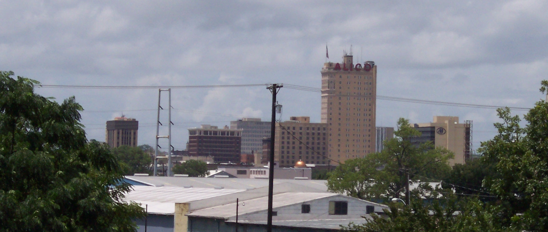

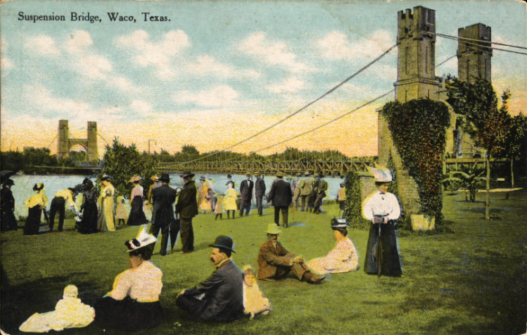


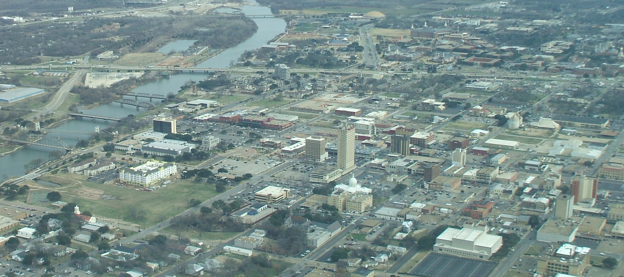

Waco ( WAY-koh) is a city which is the county seat of McLennan County, Texas, United States.
It is situated along the Brazos River and I-35, halfway between Dallas and Austin. The city had a 2010 population of 124,805, making it the 22nd-most populous city in the state. The US Census 2016 population estimate is 134,432 The Waco Metropolitan Statistical Area consists of McLennan and Falls Counties, which had a 2010 population of 234,906. Falls County was added to the Waco MSA in 2013. The US Census 2016 population estimate for the Waco MSA is 265,207.
Local media
The major daily newspaper is the Waco Tribune-Herald. Other publications include The Waco Citizen, The Anchor News, The Baylor Lariat, Tiempo, Wacoan, and Waco Today Magazine.
Transportation
Interstate 35 is the major north-south highway for Waco. It directly connects the city with Dallas (I-35E), Fort Worth (I-35W), Austin, and San Antonio. Texas State Highway 6 runs northwest-southeast and connects Waco to Bryan/College Station and Houston. US Highway 84 is the major east-west thoroughfare in the area. It is also known as Waco Drive, Bellmead Drive (as it passes through the city of Bellmead), Woodway Drive or the George W. Bush Parkway. Loop 340 bypasses the city to the east and south. State Highway 31 splits off of US 84 just east of Waco and connects the city to Tyler, Longview, and Shreveport, Louisiana.
The Waco area is home to three airports. Waco Regional Airport (ACT) serves the city with daily flights to Dallas/Fort Worth International via American Eagle. TSTC Waco Airport (CNW) is the site of the former James Connally AFB and was the primary fly-in point for former President George W. Bush when he was visiting his ranch in Crawford. It is also a hub airport for L3 and several other aviation companies. McGregor Executive Airport (PWG) is a general-aviation facility located west of Waco.
Local transportation is provided by the Waco Transit System, which offers bus service Monday-Saturday to most of the city. Nearby passenger train service is offered via Amtrak. The Texas Eagle route includes daily stops in McGregor, located 20 miles west of the city.
Geography
Waco is located at 31°33'5" North, 97°9'21" West (31.551516, -97.155930).
According to the United States Census Bureau, the city has a total area of 95.5 square miles (247 km2). 84.2 square miles (218 km2) of it is land and 11.3 square miles (29 km2) of it is covered by water. The total area is 11.85% water.
reviews (43)


Often well lighted, broad streets, considerate drivers, only drivers are those coming home or in service vehicles.
Yes I will it is very quiet and close to doctors n stores

Nice and quiet
I had a brother that had down syndrome and I took care of him


It is a quiet neighborhood not to many houses it's close to stores n Dr