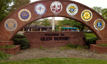

Glen Burnie is a census-designated place (CDP) in Anne Arundel County, Maryland, United States.
Glen Burnie is a suburb of Baltimore. It is located at 39°9′36″N 76°36′38″W (39.159982, −76.610588). The population of Glen Burnie was 67,639 at the 2010 census. The intersection of Central Avenue and Crain Highway forms the boundaries of the NW, SW, NE & SE postal quadrants in the community's center.
Geography
According to the United States Census Bureau, the CDP has a total area of 18.0 square miles (46.7 km2), of which 17.3 square miles (44.9 km2) is land and 0.69 square miles (1.8 km2), or 3.95%, is water.
Climate
The climate in this area is characterized by hot, humid summers and generally mild to cool winters. According to the Köppen Climate Classification system, Glen Burnie has a humid subtropical climate, abbreviated "Cfa" on climate maps
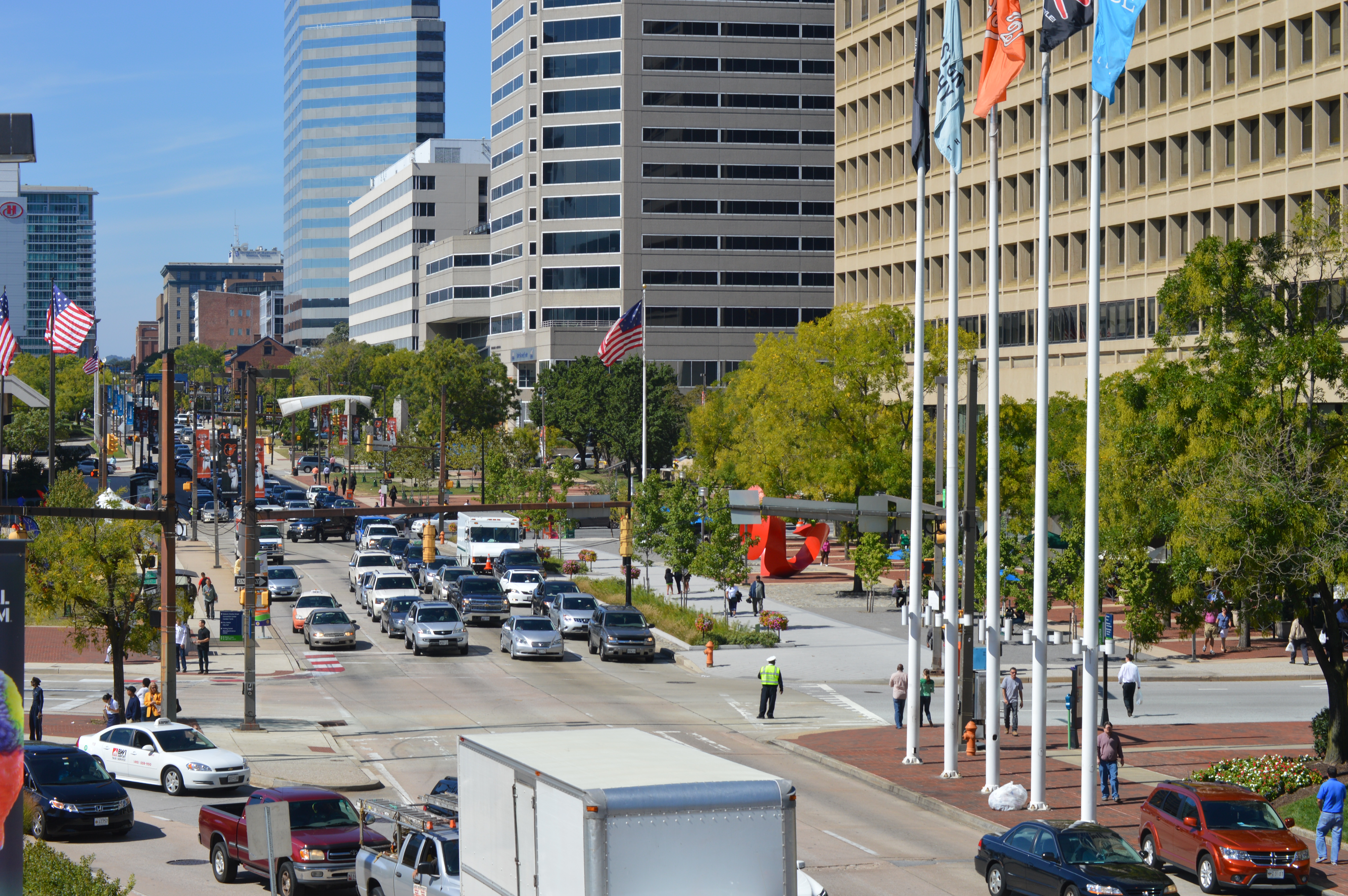
Public transit
As the southern terminus of the Cromwell Branch of the Baltimore Light Rail, Glen Burnie is home to two light rail stops (Ferndale and Cromwell / Glen Burnie. Cromwell Station, located at the intersection of Baltimore-Annapolis Boulevard and Dorsey Road, is equipped with a free park-and-ride for commuters, as well as a bus connection to MTA Route 14 and bike connection to the Baltimore & Annapolis Trail.
BWI Rail Station located in nearby Linthicum provides regional rail service to Glen Burnie via the MARC Penn Line and Amtrak.
Demographics
As of the census of 2000, there were 38,922 people, 15,210 households, and 9,977 families residing in the CDP. The population density was 3,182.1 people per square mile (1,228.8/km²). There were 15,902 housing units at an average density of 1,300.1 per square mile (502.0/km²). The racial makeup of the CDP was 81.11% White, 13.52% Black, 0.35% Native American, 2.40% Asian, 0.07% Pacific Islander, 0.78% from other races, and 1.78% from two or more races. Hispanic or Latino of any race were 2.46% of the population.
There were 15,210 households out of which 29.6% had children under the age of 18 living with them, 47.1% were married couples living together, 13.1% had a female householder with no husband present, and 34.4% were non-families. 27.2% of all households were made up of individuals and 9.3% had someone living alone who was 65 years of age or older. The average household size was 2.53 and the average family size was 3.07.
In the CDP, the population was spread out with 23.7% under the age of 18, 9.0% from 18 to 24, 32.3% from 25 to 44, 22.1% from 45 to 64, and 12.9% who were 65 years of age or older. The median age was 36 years. For every 100 females, there were 94.7 males. For every 100 females age 18 and over, there were 92.2 males.
The median income for a household in the CDP was $45,281, and the median income for a family was $51,845. Males had a median income of $35,957 versus $27,078 for females. The per capita income for the CDP was $20,170. About 5.9% of families and 7.7% of the population were below the poverty line, including 10.2% of those under age 18 and 9.1% of those age 65 or over.
reviews (20)


I have not really seen any people that are elderly in my neighborhood
If you like to go boating, fishing, crabbing. You'd love it here

Age friendly because its lots of happy and free people
so over crowded, but very expensive housing


I live across the street from an elderly woman. All of the neighbors take care of her. Just recently when it snowed, the gentleman who lives next to her took time to shovel and clear her side walks and driveway, so she can have easy access to the outside. I honestly feel like it's really age friendly. Everyone looks out for each other and if there are any issues, people tend to work together to come to a compromise.